
NE Map - Nebraska Maps
State Maps > NE Map
Basic State Maps | |||||||||
|---|---|---|---|---|---|---|---|---|---|
| AK | CO | HI | KS | ME | MT | NJ | OK | SD | VT |
| AL | CT | IA | KY | MI | NC | NM | OR | TN | WA |
| AR | DE | ID | LA | MN | ND | NV | PA | TX | WI |
| AZ | FL | IL | MA | MO | NE | NY | RI | UT | WV |
| CA | GA | IN | MD | MS | NH | OH | SC | VA | WY |
More detailed NE maps, both online and printed, are available at the Nebraska Department of Roads and the Nebraska Department of Natural Resources. Visit the Nebraska Spatial GIS Databases website for geographic information about the State of Nebraska.
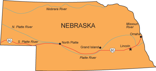
Click any of the state map links on this page to view simple state maps and find state geographic info.
Copyright © 2007-2026 State-Maps.org. All rights reserved.
Nebraska map copyright © Bruce Jones Design Inc.
Nebraska map copyright © Bruce Jones Design Inc.