
Pennsylvania Airports
|
 The busiest Pennsylvania airports are
the Philadelphia International Airport and
the Pittsburgh International Airport.
The busiest Pennsylvania airports are
the Philadelphia International Airport and
the Pittsburgh International Airport.
Other major Pennsylvania airports include the Arnold Palmer Regional Airport in Latrobe, the Erie International Airport, the Harrisburg International Airport, the Johnstown-Cambria County Airport, the Lehigh Valley International Airport in Allentown, the Wilkes-Barre/Scranton International Airport in Avoca, and the Williamsport Regional Airport.
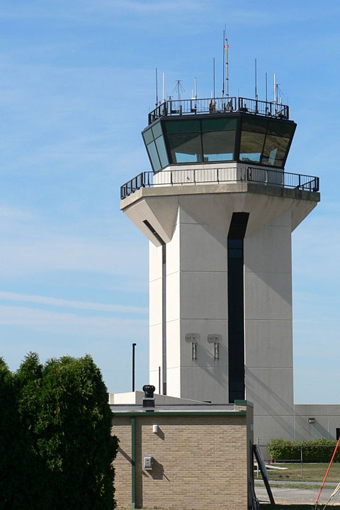
The photo at right shows the control tower at Johnstown-Cambria County Airport.
Interactive Pennsylvania Airports Map
This section features an airport locator map that can be zoomed and panned to show the state of Pennsylvania and its neighbors or a small region of the state. Use the plus (+) and minus (-) buttons to zoom the map in and out, respectively. Simply swipe or drag the map to pan it in any direction. The airport markers on this Pennsylvania map can help travelers find IATA-designated airports in the state and plan their air travel arrangements more efficiently.
FAA Pennsylvania Airport Locator Map
This Pennsylvania airport map shows FAA-designated commercial service airports, reliever airports, and general aviation airports in the Commonwealth of Pennsylvania. Primary airports are designated with an airplane symbol.

Copyright © 2007-2026 State-Maps.org. All rights reserved.
Pennsylvania airport map source: FAA 2001-2005 NPIAS.
Pennsylvania airport map source: FAA 2001-2005 NPIAS.