
Colorado Airports
|
 Colorado's leading airport is
the Denver International Airport,
which processes about 20 million passenger boardings per year.
Colorado's leading airport is
the Denver International Airport,
which processes about 20 million passenger boardings per year.
Other major Colorado airports include the Aspen-Pitkin County Airport, the Colorado Springs Airport, the Durango-La Plata County Airport, the Eagle County Regional Airport, the Fort Collins-Loveland Municipal Airport in Fort Collins/Loveland, the Gunnison-Crested Butte Regional Airport, the Montrose Regional Airport, the Telluride Regional Airport, the Grand Junction Regional Airport, and the Yampa Valley Regional Airport in Hayden.
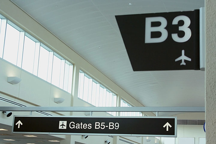
The photo at right shows departure gate signs at Denver International Airport.
Interactive Colorado Airports Map
This section features an airport locator map that can be zoomed and panned to show the state of Colorado and its neighbors or a small region of the state. Use the plus (+) and minus (-) buttons to zoom the map in and out, respectively. Simply swipe or drag the map to pan it in any direction. The airport markers on this Colorado map can help travelers find IATA-designated airports in the state and plan their air travel arrangements more efficiently.
FAA Colorado Airport Locator Map
This Colorado airport map shows FAA-designated commercial service airports, reliever airports, and general aviation airports in the State of Colorado. Primary airports are designated with an airplane symbol.

Copyright © 2007-2026 State-Maps.org. All rights reserved.
Colorado airport map source: FAA 2001-2005 NPIAS.
Colorado airport map source: FAA 2001-2005 NPIAS.