
Alaska Airports
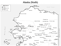
Northern Alaska Airport Map
|
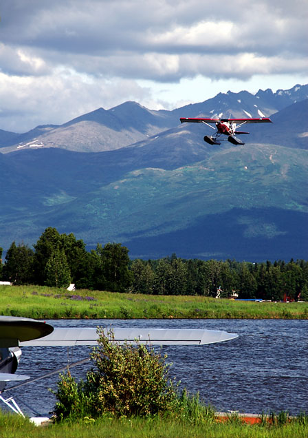
Lake Hood Seaplane Base
|
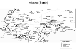
Southern Alaska Airport Map
|
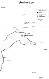
Anchorage Area Airport Map
|
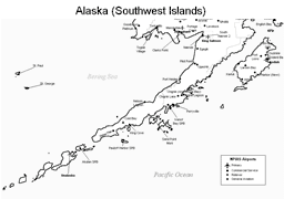
Southwestern Alaska Airport Map
|
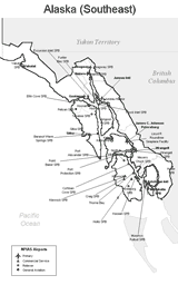
Southeastern Alaska Airport Map
|
 Because the Alaskan terrain is formidable and there are great distances between settlements, the major means of transportation is by air.
Bush pilots are used to transport settlers, medical help, and supplies into the interior. Floatplanes abound.
Air taxis can be used for traveling to specific destinations. Besides the large number of small airports and private airstrips
used to access remote parts of the state that have no highways, major Alaska airports include
the Anchorage International Airport,
the Fairbanks International Airport,
the Juneau International Airport,
the Merrill Field in Anchorage,
and the Valdez Pioneer Field.
Because the Alaskan terrain is formidable and there are great distances between settlements, the major means of transportation is by air.
Bush pilots are used to transport settlers, medical help, and supplies into the interior. Floatplanes abound.
Air taxis can be used for traveling to specific destinations. Besides the large number of small airports and private airstrips
used to access remote parts of the state that have no highways, major Alaska airports include
the Anchorage International Airport,
the Fairbanks International Airport,
the Juneau International Airport,
the Merrill Field in Anchorage,
and the Valdez Pioneer Field.
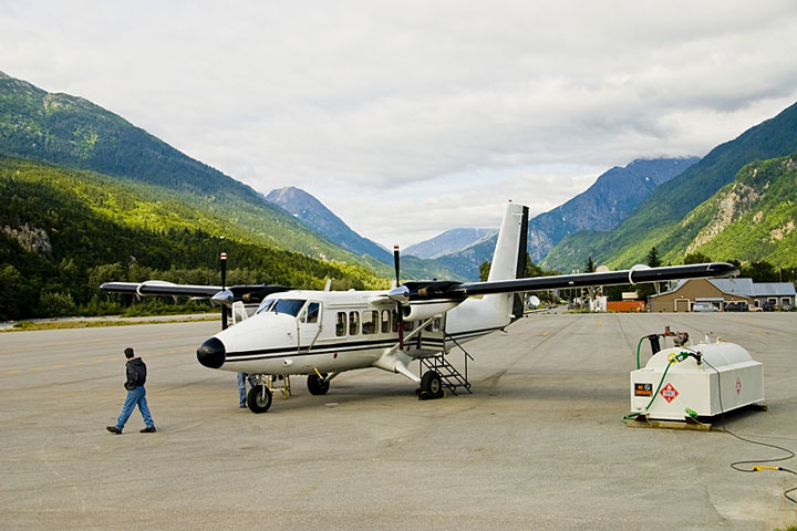
The photo at right shows a small airplane on the tarmac at Skagway Airport.
Interactive Alaska Airports Map
This section features an airport locator map that can be zoomed and panned to show the state of Alaska and its neighbors or a small region of the state. Use the plus (+) and minus (-) buttons to zoom the map in and out, respectively. Simply swipe or drag the map to pan it in any direction. The airport markers on this Alaska map can help travelers find IATA-designated airports in the state and plan their air travel arrangements more efficiently.Alaska airport map source: FAA 2001-2005 NPIAS.